 Friday, September 20, 2024
  Friday, September 20, 2024
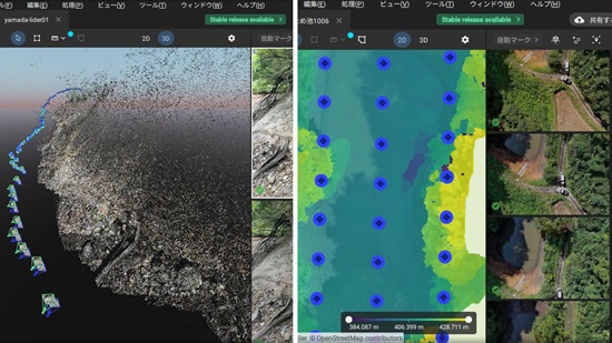
PIX4Dcatch RTK was used to gauge sediment levels in a reservoir. We spoke to the project leaders about its effective application.
Sediment is matter that settles at the bottom of reservoirs, affecting water storage and quality. In order to ensure a reservoir’s extended lifespan, precise mapping and continuous tracking of sediment accumulation is crucial. The Toyama Prefecture Land Improvement Business Association Federation in Japan, commonly known as Midori Net Toyama, conducted a case study at an agricultural reservoir, assessing the impact of photogrammetry on accumulation tracking.
We spoke with an engineer and a manager from Midori Net Toyama, to gain further insights into the results. We were particularly interested in their experience of successfully merging terrestrial and aerial data using the PIX4Dcatch RTK workflow and drone imagery to increase accuracy.
Keep reading this blog on pix4d.com