 Friday, July 26, 2024
  Friday, July 26, 2024


| Date Listed | |
|---|---|
| Company | Pix4D |
| Phone | +41 21 552 05 90 |
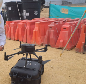
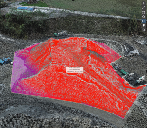
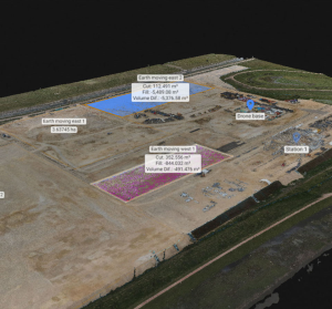
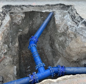
Pix4D is a photogrammetry company that develops end-to-end mapping solutions for surveying and construction professionals, converting drone or terrestrial images into survey-grade georeferenced maps and models. Use advanced features such as augmented reality to scan and document subsurface utilities, or overlay design files onto a site in real-time. The software uses algorithms and machine learning to automate workflows, removing tedious, manual tasks for ease and efficacy.